Seattle Sea-Tac Airport (SEA)
Orientation and Maps
(Seattle, Washington (WA), USA)
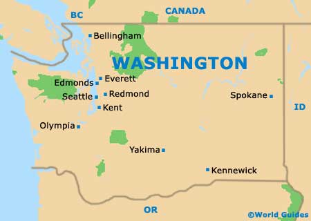
The biggest city in the whole of Washington, Seattle is located between two large bodies of water. On the eastern side of Seattle you will find Lake Washington, while to the west, the Puget Sound covers a vast area and incorporates the Bainbridge Island.
Directly south of downtown Seattle, the Boeing Field / King County International Airport (BFI) offers limited passenger services and is mainly used for cargo and commercial flights. Further south you will find the larger and busier Seattle Tacoma International Airport (SEA), which features daily flights to Europe, Asia, Canada, Mexico and many cities across the United States. The airport is also close to the port city of Tacoma, which lies to the southwest.
Seattle Tacoma International Airport (SEA) Maps: Important City Districts
Public transport within Seattle provides an excellent range of options. The Washington State Ferries operate boats to and from Bremerton and Bainbridge, while the Clipper Navigation boats are for passengers only and depart from Pier 69 and link San Juan Island.
Greyhound buses are based at Stewart Street and features regular links to Portland and other cities. Quick Shuttle buses are also available around Seattle and travel to the airport and Vancouver in BC, Canada. The Amtrak trains use the King Street Station, which can be found close to the imposing Seahawks Stadium, with regular trains to Chicago, Oakland and Portland, amongst other cities.
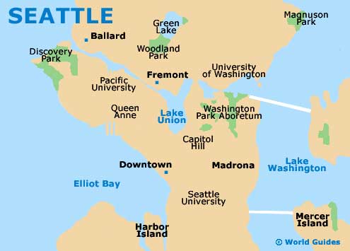
The city of Seattle features a large collection of neighborhoods and many locals often give directions in relation to these districts, which include Ballard, Belltown, Capitol Hill, Freemont and the Pike Place Market. One of the city's main thoroughfares is the Eastlake Avenue, which links downtown Seattle with the U District, while the Aurora Avenue (Highway 99) is another important road and heads north to south.
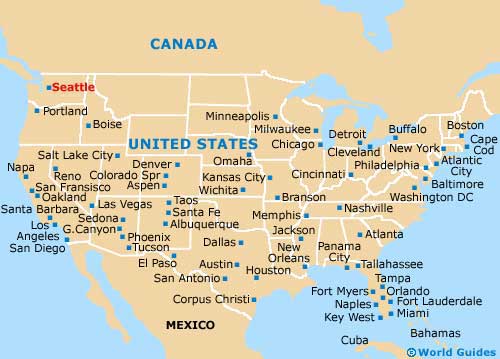
USA Map
Washington State Map
Seattle Map